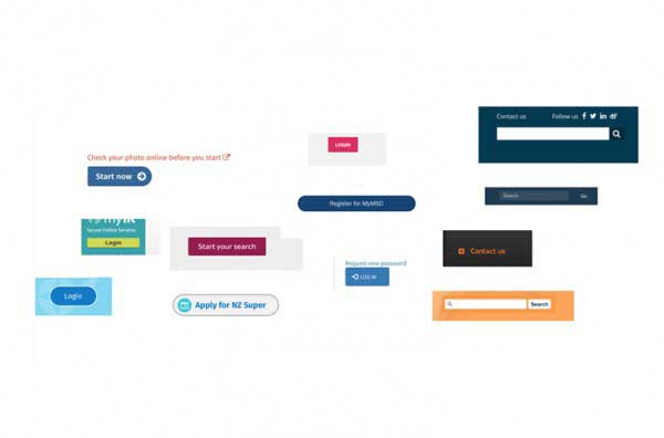
Government Information Services (GIS) are completing some discovery work into an all-of-government Pattern Library (as part of a wider discussion around a Design System) - testing the following statement:
Users need to experience consistently applied interface elements that are familiar, usable and accessible when using government services so that those services are trusted, inclusive and used.
We are talking to agencies, vendors and international counterparts to ascertain need, and if there are opportunities to reuse some of the good work already done in this space.

There are two strands to current work:
- Building a Proof of Concept (POC) Pattern Library
- Research and discovery work
The POC will help visualise what a pattern library is (e.g. to demo with executive leadership teams), using a sub-set of patterns, and an exemplar showing use. This work will also inform what future work in this space could entail and what would be needed to do that work effectively.
Key user groups identified so far from across government include:
- Developers
- Designers
- Content design community
- Vendors.
User benefits
This Proof of Concept (working title: 'Tahi' or ‘One’) will demonstrate a model for unifying the look and feel of key government digital services in New Zealand. Other possible benefits identified from talking to digital teams include:
- Accessibility and quality ‘baked-in’
- Cost savings across system
- Well-documented, easy to reuse patterns/components
- Faster time to market (e.g. easier prototyping)
We will do further work with agencies and vendors to learn more about possible pattern library form and function, as well as drafting principles and governance information.
Ultimately, this could inform future work around a sustainable and achievable way to deliver a unified, trusted digital government service experience.
Active communities of interest
It is vital that communities across government are part of this process and we are consulting with cross-disciplinary groups involved in digital service delivery.

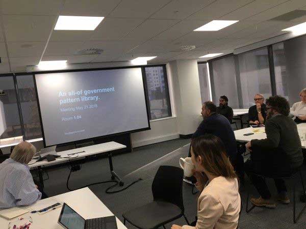
Following on from a successful meet-up in May, we plan to hold focused meet-ups over the winter months for communities engaged across government in:
- UX
- Development
- Content design
- Service design.
We want to explore further what a living service/product could be, including what form of system could work for most of the people, most of the time, and where we could be focussing our effort.
We also want to collaborate on models for governance, contribution that make it easier for teams across government to use any system that results from this work.
We look forward to the work ahead, getting more agencies involved and contributing to ultimately making things easier for users of government services.
Find out more
Please contact mark.kirkpatrick@dia.govt.nz if you have any questions or comments on this work.
About GIS
Government Information Services (GIS) are part of the Department of Internal Affairs and manage a portfolio of complementary products and services that support lifting the quality and efficiency of digital delivery among agencies and raising digital capability throughout government.
GIS offers a range of expertise including:
- Digital product development, delivery and management of critical system wide products such as www.govt.nz, www.digital.govt.nz, www.data.govt.nz
- Development and oversight of standards and advice which are focused on improving outcomes for New Zealanders using digital channels including digital design standard, web accessibility and usability standards, advice on writing for the web, advice on digital supporting participation in government
- Technical development and support of critical system infrastructure including the all-of-government domain name service
Published
Categories
Web design, Web development, Govt.nz, Web standards, User research, Public sector,


